VCSEL LiDAR sounds straightforward until a buyer has to decide whether a 940 nm module is actually a fit for a compact UAV or robot program. The weak step is rarely the acronym itself. It is the jump from “this module uses a VCSEL emitter” to “this module will survive our reflective surfaces, mixed light, host data path, and low-altitude workflow without wasting a sample cycle.”
This guide is written for a technical buyer, UAV program lead, or robotics integration lead who needs a practical shortlist method before requesting hardware, scheduling bench time, or promising internal stakeholders that a compact LiDAR module is ready for evaluation.
| Quick answer | Shortlist VCSEL LiDAR only after you verify scene fit, reflective and mixed-light behavior, the meaning of the Class 1 label, and the fastest path to replayable depth evidence on your real host workflow. |
|---|---|
| Best fit | Compact UAV and robot teams that need near-range distance sensing, obstacle awareness, or terrain-assist support without jumping straight to a large mapping payload. |
| Decision rule | If the team cannot define its target geometry, operating light, and proof workflow before the sample request, the module is not shortlist-ready no matter how attractive the emitter technology sounds. |
Why VCSEL LiDAR changes the shortlist questions
VCSEL matters because the emitter is part of the sensing architecture, not because it is a marketing badge. Hamamatsu’s current LiDAR guidance says that edge-emitting lasers and VCSELs are both considered for 850-940 nm LiDAR concepts, and that VCSELs are best suited to flash LiDAR concepts while source selection still depends on system-level requirements such as range, resolution, range error, and reliability. The practical buyer translation is simple: a VCSEL-based module deserves attention, but it still has to be screened against the job your platform must perform.
NIST makes the selection problem more concrete. Its guidance on 3D imaging for robotic work stresses that material properties, ambient conditions, and the chosen measurement approach can materially affect performance, which is why quantifying performance is crucial when selecting a 3D imaging system. That is exactly the right mindset for a compact module shortlist. A buyer should ask whether the module can keep useful depth on the specific doorway edges, shelving, landing surface, or obstacle band that matters in the real scene, not whether the emitter sounds advanced in isolation.
The safety label also needs to be interpreted correctly. FDA guidance explains that laser hazard classes describe risk level and that Class I products are considered non-hazardous under the recognized classification framework. That makes a Class 1 statement useful in early screening, but it does not replace application-level integration checks, mounting review, or the need to prove the sensor behaves correctly inside your own workflow.
VCSEL LiDAR shortlist decision table
| Shortlist question | Why it matters | Pass signal | Reject if |
|---|---|---|---|
| Does the usable sensing volume match the real task? | A compact VCSEL-based module only helps if the critical obstacle or ground band stays inside the practical field of view and distance band. | The team can map target distance, mounting angle, and the decision zone before requesting the sample. | The evaluation is still based on one headline range number or one diagonal FoV number. |
| Will reflective and matte targets both be in the first test? | Mixed surfaces often expose a module’s weak cases faster than an easy bench setup does. | The first run includes both reflective and darker targets that resemble the real environment. | The plan relies on a clean matte wall or hallway and postpones difficult targets. |
| Is the Class 1 label being used correctly? | Laser classification helps with screening, but it does not prove system fit or data quality. | The team treats the label as one screening fact alongside mounting, workflow, and evidence checks. | The shortlist treats eye-safety labeling as proof that the module is ready for deployment. |
| Can the host capture replayable evidence quickly? | A shortlist needs saved weak frames and repeatable logs, not one live demo. | The first interface choice leads to a stable recorded dataset on the real bench host. | The data path is vague, undocumented, or dependent on a one-off viewer. |
| Does the intended use case actually match a compact module? | Some programs need a near-range rangefinder workflow, not a survey payload or a richer 3D stack. | The team can state whether the sensor supports terrain-assist, obstacle awareness, docking, or another bounded decision. | The mission need is still described as “general LiDAR capability.” |
Exact featured-product parameters to screen
The current Featured product for this workflow is the LiDAR Drone Module - MRP-LD1 Solid-State dToF Sensor. The table below uses only the exported Featured-product facts and turns each one into a shortlist implication instead of inventing extra claims.
| Parameter | Published value | Shortlist implication |
|---|---|---|
| Ranging principle | dTOF (Direct Time-of-Flight) | Judge the module by the quality of depth evidence and workflow fit, not by emitter terminology alone. |
| Scanning principle | SPAD (Single-Photon Avalanche Diode) | The detector path is compact and depth-oriented, but the buyer still needs a scene-based validation plan. |
| Emitter | 940nm VCSEL | This is the core reason the module fits a VCSEL LiDAR shortlist; it should trigger emitter-fit questions, not blind approval. |
| Laser safety | Class 1 (FDA Recognized Eye-Safe) | Useful for screening and internal review, while installation and system-level checks still belong in the evaluation plan. |
| Range | Indoor 0.5-25m; outdoor 0.2-8m | Translate these bands into the exact stand-off distance and obstacle or ground zone your program needs. |
| Ambient-light resistance | 80Klux | Bright-light claims should still be checked in a mixed-light or doorway transition that resembles the real scene. |
| Accuracy | 0.2-1m <= +/-3cm; 1-5m <= +/-5cm; 5-8m <= +/-10cm; 8-15m <= +/-20cm | Turn these bands into your own clearance or altitude-assist tolerances before approving the sample. |
| Field of view | 60 degrees (H) x 45 degrees (V) | Map the cone against your doorway, landing zone, aisle, or obstacle corridor geometry instead of treating FoV as self-explanatory. |
| Resolution / frame rate | 40 x 30 at 10fps | This can be enough for compact distance decisions if the task is bounded and the review criteria are honest. |
| Interfaces | UART / UVC / UDP | Pick the interface that gets the first replayable dataset with the least friction. |
| Software support | Windows / ARM / Linux / Android | Useful when the bench logger and the final host are not the same device. |
| Power / weight | 5V, 1.2W, 8g | These numbers are especially relevant for compact UAV and robot payload budgets. |
A pre-sample workflow for 940 nm module buyers
1. Define the decision the sensor must support
Start with the actual job. Is the module supposed to help a small multirotor maintain a stable low-altitude band, warn on an approach corridor, or give a mobile robot near-range awareness at a doorway threshold? If the answer is still vague, the sample request is early.
2. Turn the VCSEL choice into a scene check
Because the module is part of a VCSEL LiDAR shortlist, the first proof should show how the sensing path behaves on the real target mix: matte surfaces, reflective metal, shelving edges, floor texture, and a lighting transition that resembles field or warehouse use. If your team wants a primer before setting those checks, revisit what drone LiDAR means for integration teams and the site’s drone LiDAR terms guide.
3. Freeze the first interface before expanding the pilot
The MRP-LD1 supports UART, UVC, and UDP. The best first path is usually not the most elegant architecture. It is the path that gets your team to a saved, replayable dataset fastest. If that decision is still open, Purpleriver’s guide on UART, UVC, or UDP interface choices is the right internal reference before the shortlist turns into a debugging project.
4. Check the label, then keep going
Use the Class 1 statement as one shortlist input, not as the finish line. FDA laser classification helps frame risk, but the evaluation still has to prove that the mounted sensor, the target geometry, and the host-side handling are acceptable for your own program.
5. Save the weak cases deliberately
NIST’s performance mindset is the right one here: quantification matters. Save the weak frames, lighting notes, and target conditions from the first pass. If the team cannot explain the worst case after replay, it is not ready to move from shortlist to broader validation.
Interface, data, and UAV or robot use-case fit
Compact VCSEL-based modules are often judged too abstractly. The better approach is to tie them to a bounded use case and a known host path. PX4’s current documentation is useful here because it describes what distance sensors are actually used for in a flight stack. PX4 says rangefinders can support terrain following, terrain holding, improved landing behavior, warning of height limits, and collision prevention, and it also notes that terrain following depends on the distance sensor remaining valid at low altitude. That means a compact LiDAR shortlist should be tied to a concrete operating band rather than a general promise of “navigation.”
| Integration topic | Questions to answer before approval |
|---|---|
| UAV rangefinder fit | Is the module being screened for low-altitude terrain assist, landing support, or bounded obstacle warning rather than for full mapping? |
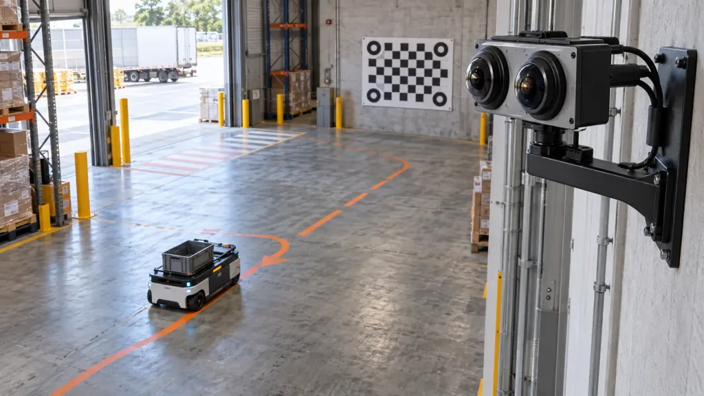
| Robot threshold fit | Can the sensor keep useful depth on doorway edges, shelf corners, or reflective fixtures in the exact approach path? |
| Host path | Will the first proof run happen on Windows, Linux, ARM, or another host, and does that path save replayable evidence? |
| Data form | Does the team need a simple range aid, a depth map, or a richer interpretation step for downstream logic? |
| Escalation path | If the first weak case appears, can the team tell whether the next step belongs to mounting geometry, lighting, interface handling, or vendor support? |
If the first bench run reveals host-side issues rather than scene-fit issues, use the site’s guide on common LiDAR integration issues before expanding the hardware evaluation. If the question is obstacle-awareness fit, the internal article on drone obstacle avoidance LiDAR requirements is the better next step.
Realistic application case: a mixed-light warehouse doorway check
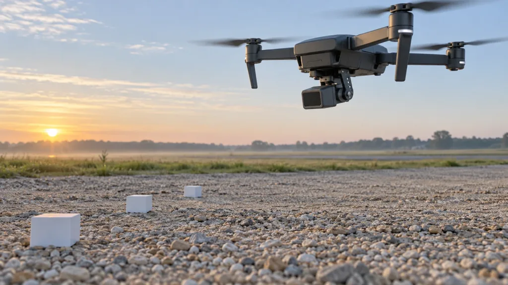
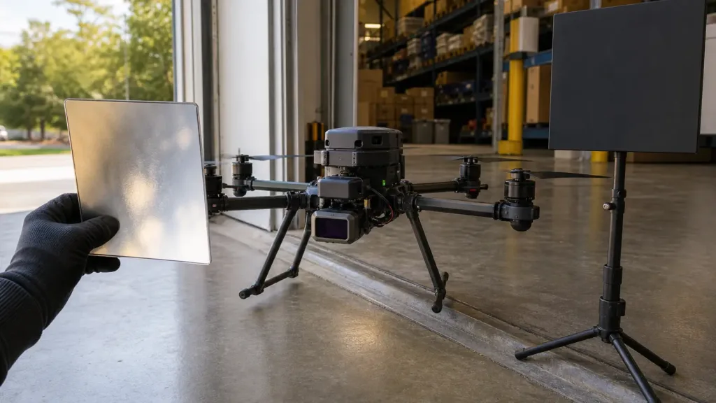
A facility team wants a small multirotor to pause at a warehouse doorway, confirm clearance, and maintain a safe low-altitude band before entering a narrow aisle for visual inspection. The buyer is considering a compact 940 nm VCSEL-based module because a large survey payload is unnecessary and the aircraft is payload-sensitive.
- Mount the module at the intended nose position and define the exact doorway width, shelf edge, and floor-distance band the aircraft must understand.
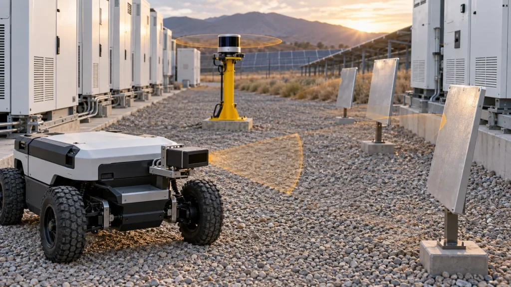
- Place one reflective metal panel and one matte-black target in the first test scene so the buyer sees both an easy and a difficult surface immediately.
- Run the first capture during a lighting transition, with daylight entering from the doorway and darker shelving deeper inside.
- Save the weak frames and compare them against the pass criteria for clearance and altitude-assist use, not against a generic “did it see something” standard.
- Approve the module only if the team can explain what the data means and where the operating boundary starts to fail.
This case is useful because it keeps the module in its likely compact-platform role. It is not a survey payload comparison. It is a bounded distance-sensing decision that a VCSEL-based shortlist should be able to answer quickly.
Common mistakes
- Approving a VCSEL-based module because the emitter type sounds modern without defining the actual decision zone.
- Treating the Class 1 label as proof that the product is ready for use in the full application.
- Testing only easy matte targets and postponing reflective surfaces until later.
- Letting the interface decision drift even though it controls how quickly the team gets replayable evidence.
- Confusing a compact rangefinder or obstacle-awareness workflow with a survey-grade mapping requirement.
- Keeping only screenshots or impressions instead of saved weak frames and test notes.
RFQ and evaluation checklist
| Checklist item | Approve only when |
|---|---|
| Decision zone is defined | The team can state the exact distance band and obstacle or ground region that matters. |
| Target mix is realistic | The first test includes reflective and matte surfaces that resemble the real scene. |
| Lighting plan is real | The first run uses a lighting transition or ambient condition that matches deployment risk. |
| Class 1 interpretation is documented | The label is recorded as a screening fact, not as the whole acceptance argument. |
| First interface is chosen | The team knows whether UART, UVC, or UDP will produce the first stable dataset. |
| Replay path exists | Weak frames can be saved and reviewed after the live run. |
| Use-case boundary is explicit | The module is being screened for a bounded compact-platform task, not an undefined LiDAR ambition. |
| Follow-up owner is clear | The next action belongs clearly to mechanics, software, validation, or vendor support. |
Use VCSEL LiDAR as a shortlist filter, not a shortcut
A 940 nm VCSEL-based compact module can be the right answer when your program needs a bounded rangefinder, obstacle-awareness, or terrain-assist workflow on a weight-sensitive platform. It becomes the wrong answer when the team never defines the scene, the light, the interface, or the operating boundary it expects to prove.
- Start with the real decision zone, not the emitter acronym.
- Use the Featured-product facts, documentation resources, and saved weak frames to keep the shortlist defensible.
Purpleriver’s current featured module combines a 940 nm VCSEL emitter, SPAD dToF architecture, compact 8 g form factor, and UART, UVC, and UDP options for teams building a practical first evaluation plan.
Review the documentation resources or contact Purpleriver with your target geometry, host path, and operating-light constraints so the next conversation starts from real acceptance criteria.