
Sense
Capture distance and depth data.
Drone LiDAR sitemap pages are being expanded with product-led technical content.
Explore the moduleLiDAR Drone Overview
Bring compact 3D perception to your UAV with the Purpleriver MRP-LD1 solid-state dToF LiDAR module. Review its sensing range, field of view, depth output, host interfaces, 8 g weight and 1.2 W typical power consumption to evaluate its fit for drone obstacle sensing and embedded integration.
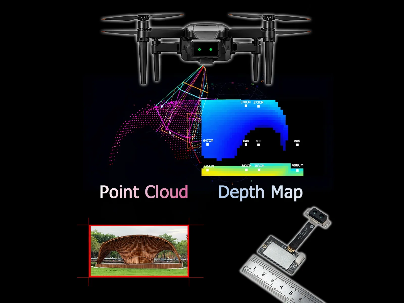
Definition
A LiDAR drone is a UAV that uses laser-based ranging to measure distance and generate depth information. In a complete LiDAR drone system, the sensor captures depth data, the onboard host interprets it, and the flight-control stack determines the response.
MRP-LD1 is the compact sensing layer. It supplies distance, depth-image and point-cloud data for obstacle awareness, altitude support, inspection and embedded 3D perception.
Capture distance and depth data.
Interpret data on the host platform.
Execute the validated UAV response.
Product Benefits
Start with the engineering problem, then verify whether the documented module performance fits the complete platform.
Keep the sensing layer compact with an 8 g module and 1.2 W typical power consumption—important inputs when a UAV has limited payload and battery capacity.
Use the documented 0.2–8 m outdoor range and up to 80 Klux ambient-light resistance to plan representative daylight tests before system integration.
Add depth-image and point-cloud data to the perception workflow so the host receives more spatial context than a single distance point.
Performance and Features
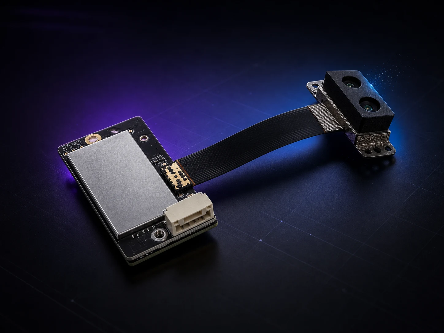
MRP-LD1 combines hybrid-stacked SPAD dToF sensing and 940 nm VCSEL illumination in an 8 g solid-state module. Use the six primary specifications below to decide whether it should enter your UAV evaluation.
Product Video
Play the application-style video when you are ready. It does not autoplay, helping the page stay focused and responsive.
How dToF Works
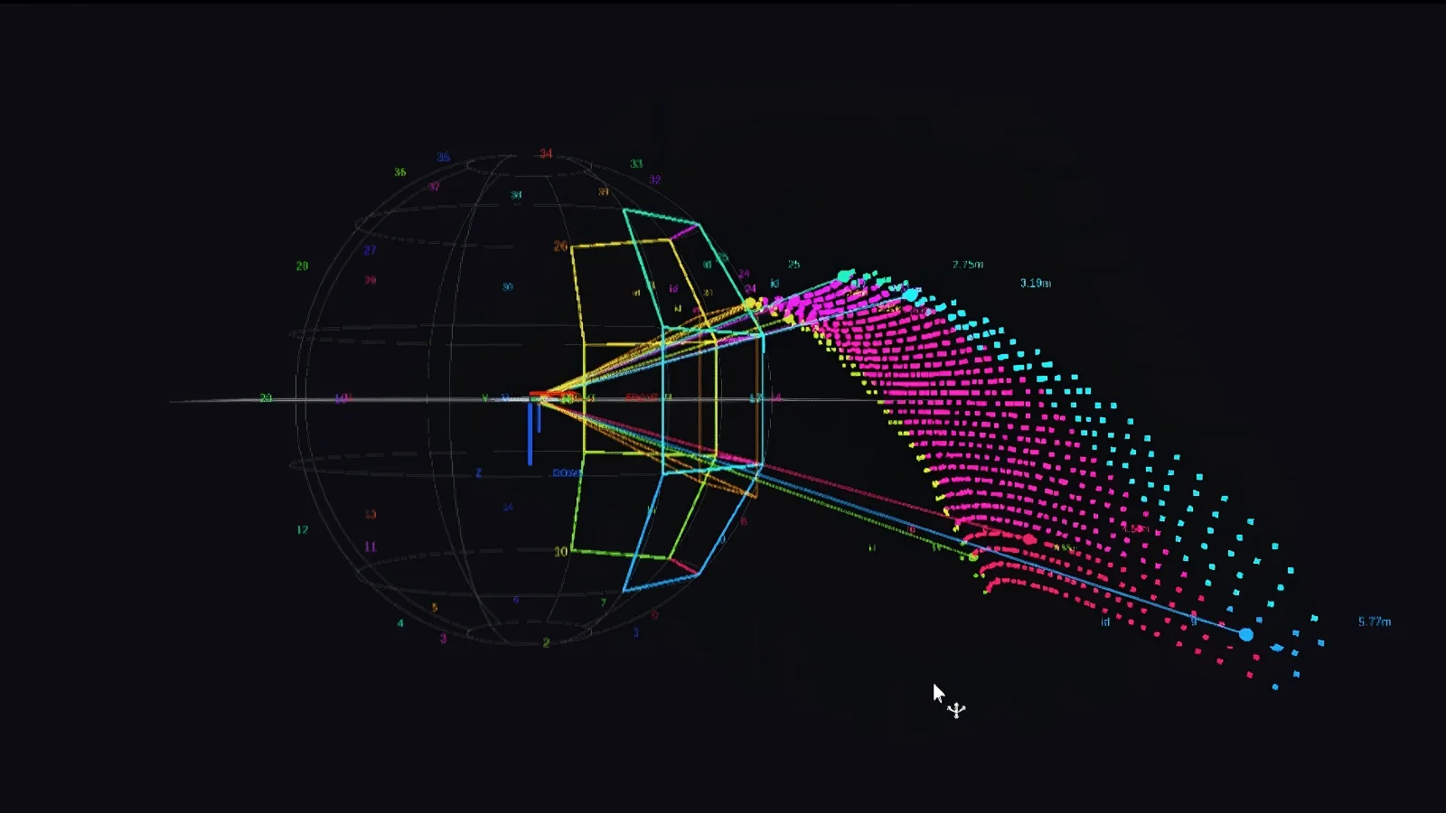
A 940 nm VCSEL emits light, the SPAD array detects the return, direct Time-of-Flight timing calculates distance, and MRP-LD1 delivers 40 × 30 depth data at 10 fps.
Project Class 1 eye-safe laser pulses and detect reflected photons across the 60° × 45° field of view.
Convert round-trip travel time into distance values for each sensing point.
Use Type-C for development and evaluation or UART for embedded communication.
Applications and Evaluation
Use the application scope and four evaluation checks below to move from search research to a controlled hardware decision.
Evaluate compact depth sensing as one input for short-range obstacle awareness. Host processing and flight-control logic remain system responsibilities.
Test downward-looking depth data for altitude support, terrain-following concepts and landing-zone sensing.
Add 3D scene information to UAV inspection workflows where payload, power and mounting space matter.
Reuse the same solid-state dToF sensor platform for navigation, mapping input and smart-equipment prototypes.
Define indoor or outdoor use, target distance, sunlight level, target reflectivity, UAV speed and mounting direction. Catalog specifications are the starting point; the mounted system still requires representative testing.
Decide whether the project needs distance values, depth images or point-cloud processing. MRP-LD1 supports Type-C for practical development and UART communication for embedded host integration.
Cameras provide visual context, ultrasonic sensors provide basic proximity input, and LiDAR provides depth and ranging data. A miniature 3D LiDAR for drone development is normally one part of a wider perception stack.
Request the manual, SDK notes and relevant sample data, then verify field of view, range, host timing, mounting and engineering response before approving a larger order.
Have a defined UAV platform or operating scene?
Request MRP-LD1 EvaluationCustomer Evaluation Feedback
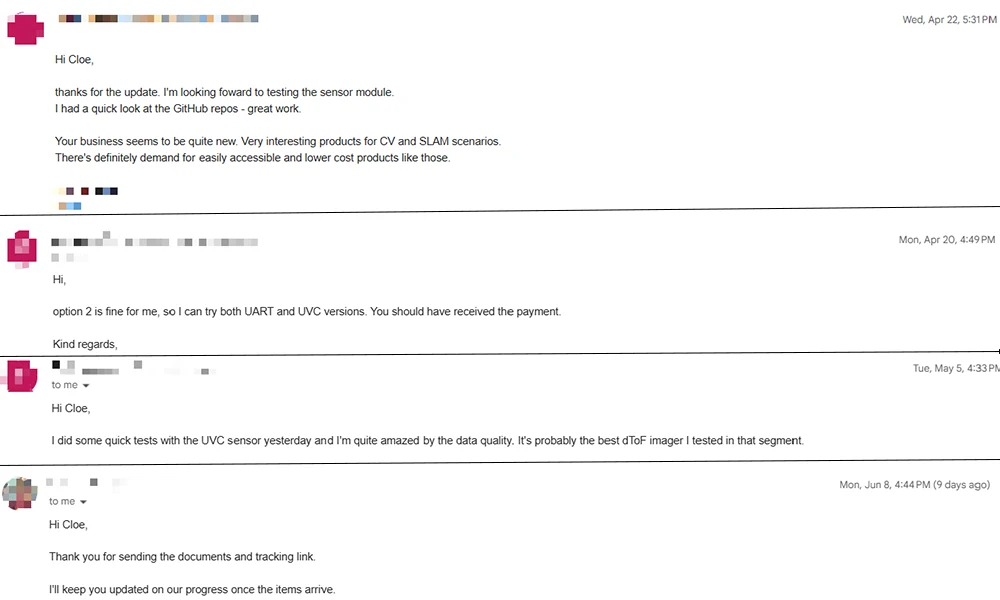
The excerpts below come from existing anonymized engineering correspondence. They are shown without star ratings, invented identities or performance guarantees.
Software review“I had a quick look at the GitHub repos — great work.”
Data evaluation“I’m quite amazed by the data quality. It’s probably the best dToF imager I tested in that segment.”
Company and Engineering
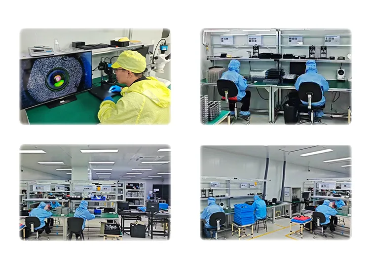
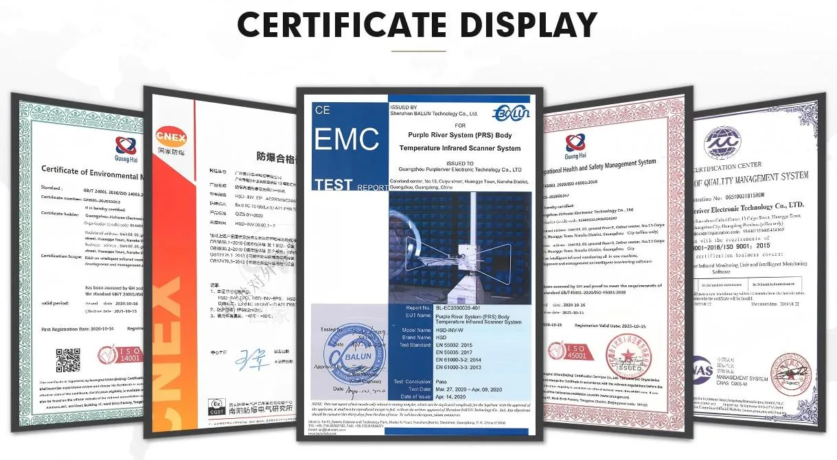
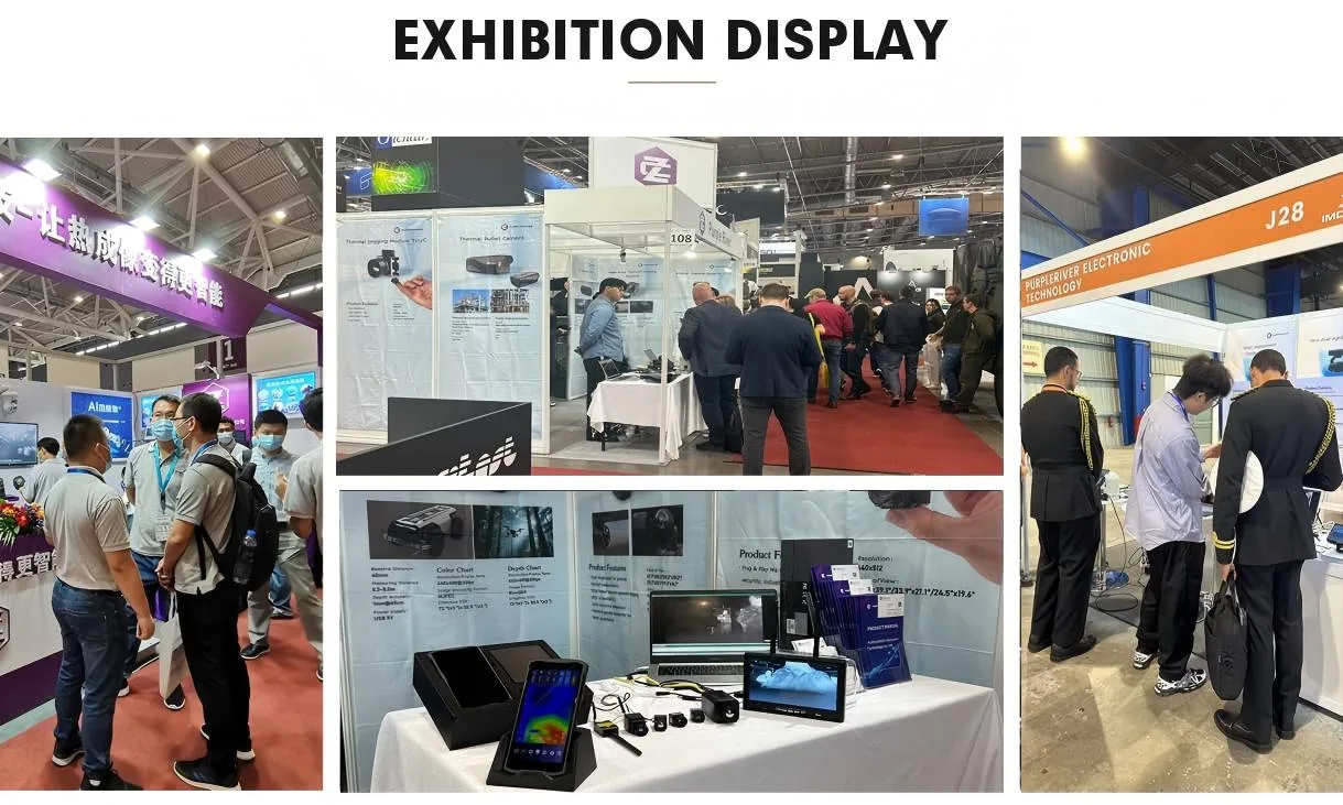
Founded in 2015, Guangzhou Purpleriver Electronic Technology Co., Ltd. develops AI thermal-imaging and solid-state dToF LiDAR technologies. UAV teams can move from public product data to documentation, sample-data review, interface planning and project-specific communication.
Product Support
Short answers to the technical and purchasing questions that most often determine the next step.
Open the full FAQA LiDAR drone is a UAV equipped with LiDAR sensing hardware so the system can collect depth, ranging or point-cloud information for perception, obstacle awareness, mapping or inspection workflows.
No. MRP-LD1 is a LiDAR module for drone integration. It supplies depth data to a host system; perception algorithms, decision logic and flight control must be designed and validated at system level.
The approved MRP-LD1 data lists a 0.5–25 m indoor range and a 0.2–8 m outdoor range. Actual results depend on target reflectivity, ambient light, mounting and operating conditions.
MRP-LD1 is listed with 40 × 30 depth output at 10 fps and supports real-time depth-image and 3D point-cloud processing workflows on the host platform.
The current integration path on this page uses Type-C for development and evaluation plus UART for embedded host communication. Confirm protocol and SDK details before hardware integration.
Yes. Share the UAV platform, sensing direction, operating scene, target distance, host system and project stage so the team can match the available evaluation materials to your request.
Request MRP-LD1 Evaluation
Tell us about the platform, sensing direction, operating environment, target distance, host and project stage. The same request can cover a quote, sample, documentation, SDK notes or point-cloud data.
Submit one request and the team can match the relevant commercial and technical materials.
Drone LiDAR Quote
Share quantity, platform and integration needs. Justin Lu can follow up with quote, sample or technical support details.
Resource unlocked
Your inquiry has been submitted. You can download the requested resource now.
Download resource