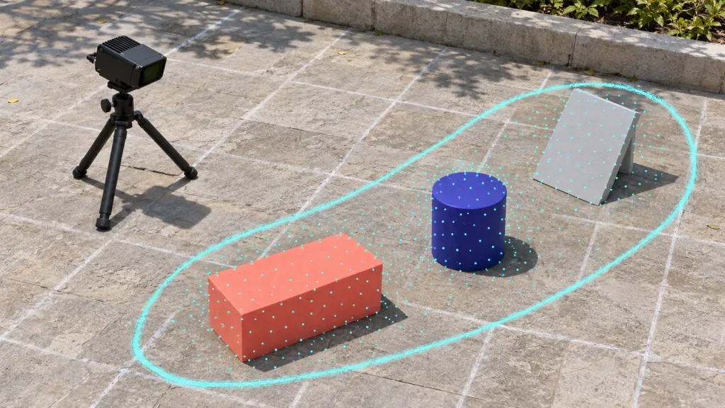
 Data & Point Cloud
A practical, repeatable workflow for turning compact dToF depth output into an inspectable point cloud before labeling, model work, or an application pilot.
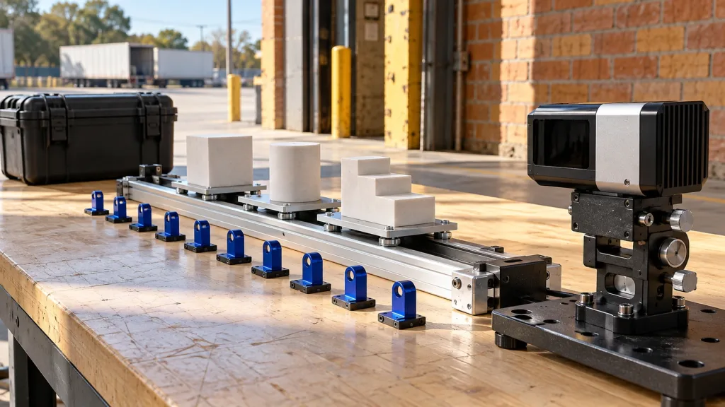 Data & Point Cloud
A practical capture-to-archive acceptance plan for evaluating a 10fps 3D point cloud LiDAR sensor before mapping, perception, or control claims.
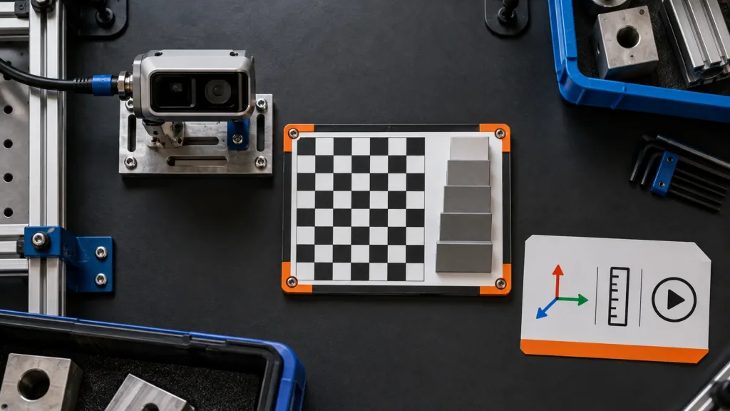 Data & Point Cloud
Use this LiDAR point cloud dataset acceptance checklist to verify provenance, frames, replayability, and product-data handoffs before host-side evaluation.
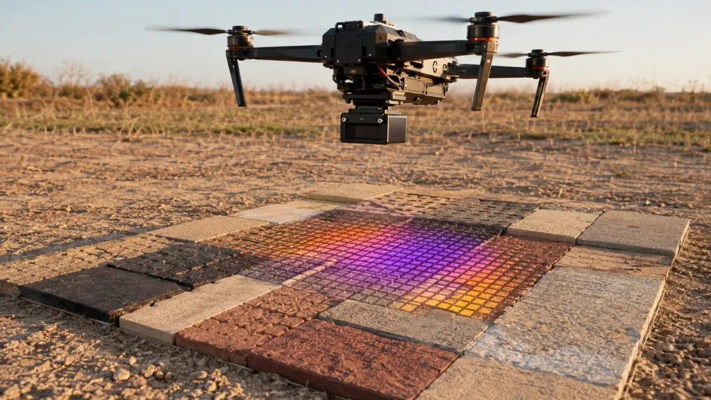 Data & Point Cloud
Use a ground-grid worksheet to evaluate whether a 40x30 LiDAR depth frame represents the ground data your drone altitude-hold prototype needs.
 Data & Point Cloud
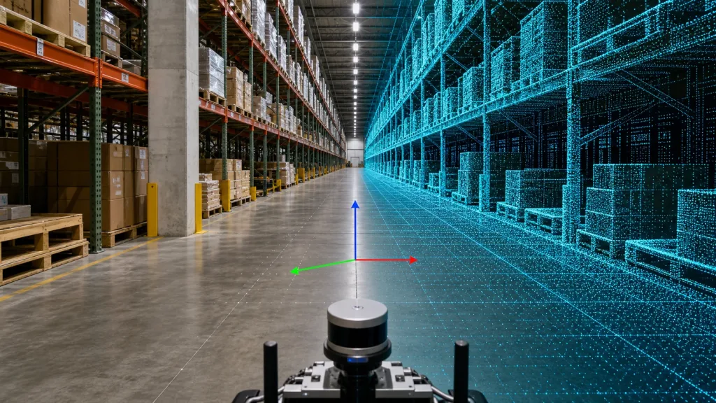
3D point cloud sensor validation for mapping teams starts before software selection. Learn how to verify frames, coverage, replay, and handoff data with a compact LiDAR workflow.
 Data & Point Cloud
Explain output formats, interpretation workflows and how sample data supports evaluation.
 Data & Point Cloud
Define practical review criteria for noise, coverage, distance, frame rate and scene suitability.
 Data & Point Cloud
A workflow-oriented guide for reviewing depth images and point cloud output during prototyping.
 Data & Point Cloud
A glossary-style guide for engineers and buyers reviewing sensor specifications.
