
Editor’s pick
Machine Vision 3D Camera: Build a Depth-and-Vision Evidence Plan
A practical evaluation plan for deciding where compact dToF depth fits alongside RGB or stereo in a machine-vision application.
Read featured guideDrone LiDAR sitemap pages are being expanded with product-led technical content.
Explore the modulePurpleriver engineering library
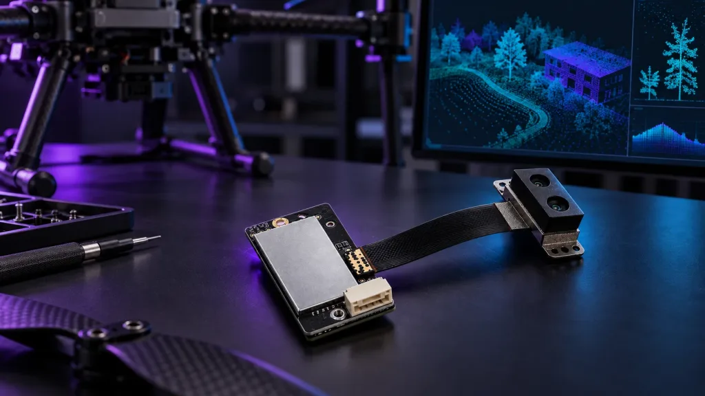
Practical Drone LiDAR guides for obstacle avoidance, solid-state dToF module selection, integration, point-cloud data and UAV engineering evaluation.
Browse by task
Sensing, coverage, sunlight, brake-margin and system-validation guides for UAV teams.
22 guides › Selection & Buying LiDAR Selection & BuyingSelection criteria, pricing questions and comparison content for B2B buyers.
36 guides › Applications LiDAR ApplicationsDrone obstacle avoidance, robotics mapping, industrial inspection and embedded vision.
26 guides › Data & Point Cloud Data & Point CloudDepth data, point cloud visualization, sample datasets and evaluation workflows.
9 guides › Integration Integration & SDK TutorialsType-C evaluation, UART communication, embedded platforms and practical sensor integration workflows.
19 guides ›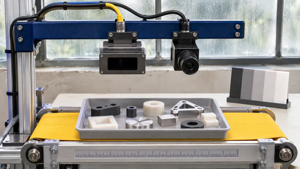
Editor’s pick
A practical evaluation plan for deciding where compact dToF depth fits alongside RGB or stereo in a machine-vision application.
Read featured guideLatest articles
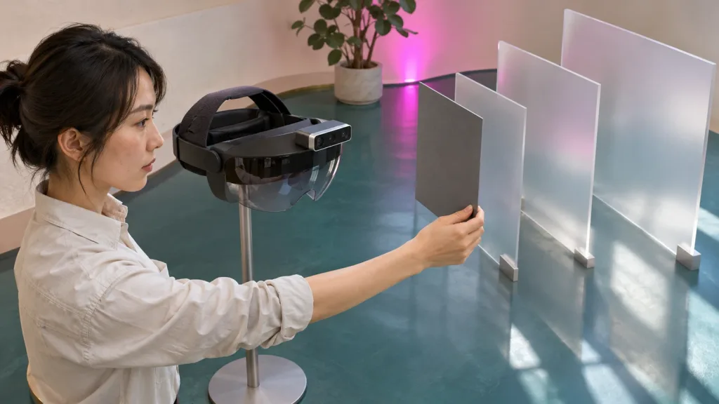 LiDAR Applications
A practical AR/VR depth-module evaluation plan that separates capability, spatial representation, interaction-zone behavior, and fallback evidence before a prototype expands.
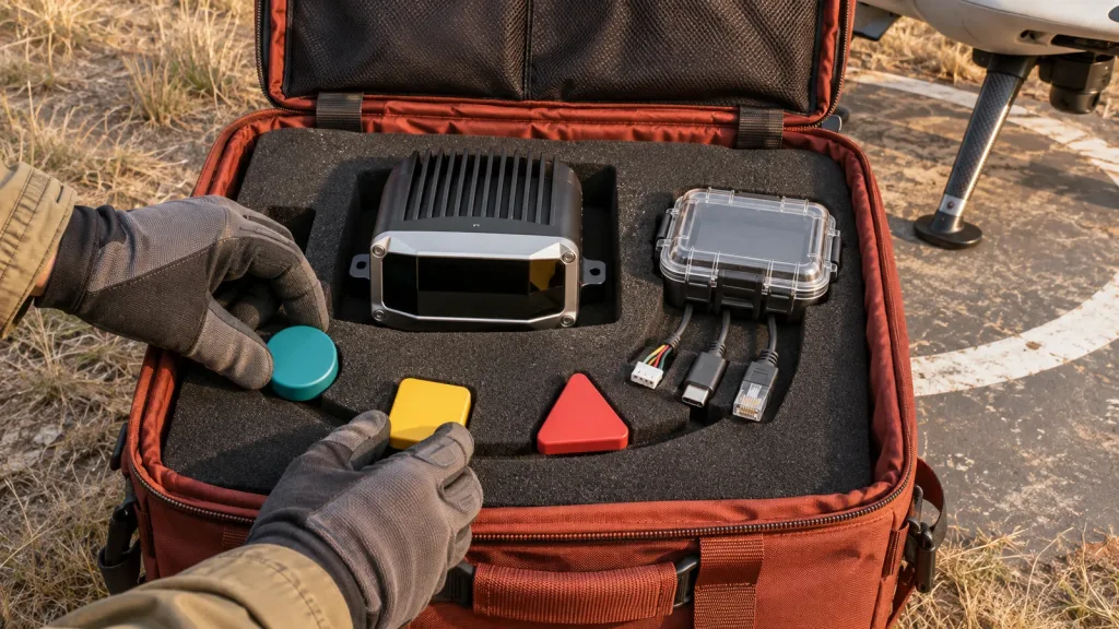 Integration & SDK
Build a repeatable evidence pack for LiDAR SDK Windows Linux Android ARM evaluation before an embedded or field-pilot handoff.
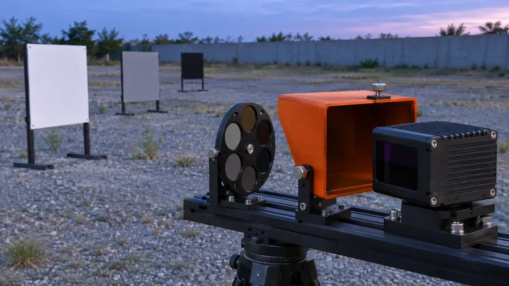 LiDAR Selection & Buying
A practical seven-test plan for evaluating a 940nm VCSEL solid state LiDAR module with optical, data-path, documentation, and pilot evidence.
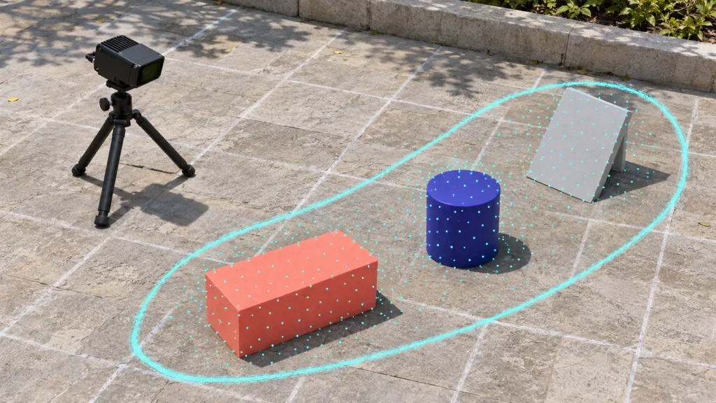 Data & Point Cloud
A practical, repeatable workflow for turning compact dToF depth output into an inspectable point cloud before labeling, model work, or an application pilot.
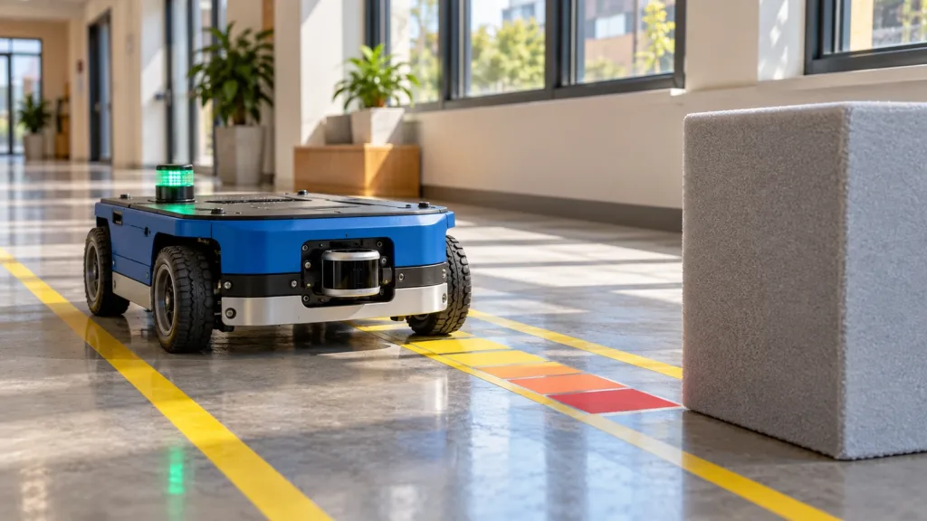 Integration & SDK
A practical guide to giving a robot obstacle avoidance dToF sensor a bounded near-field observation role, from frames and data handoff to replayable pilot evidence.
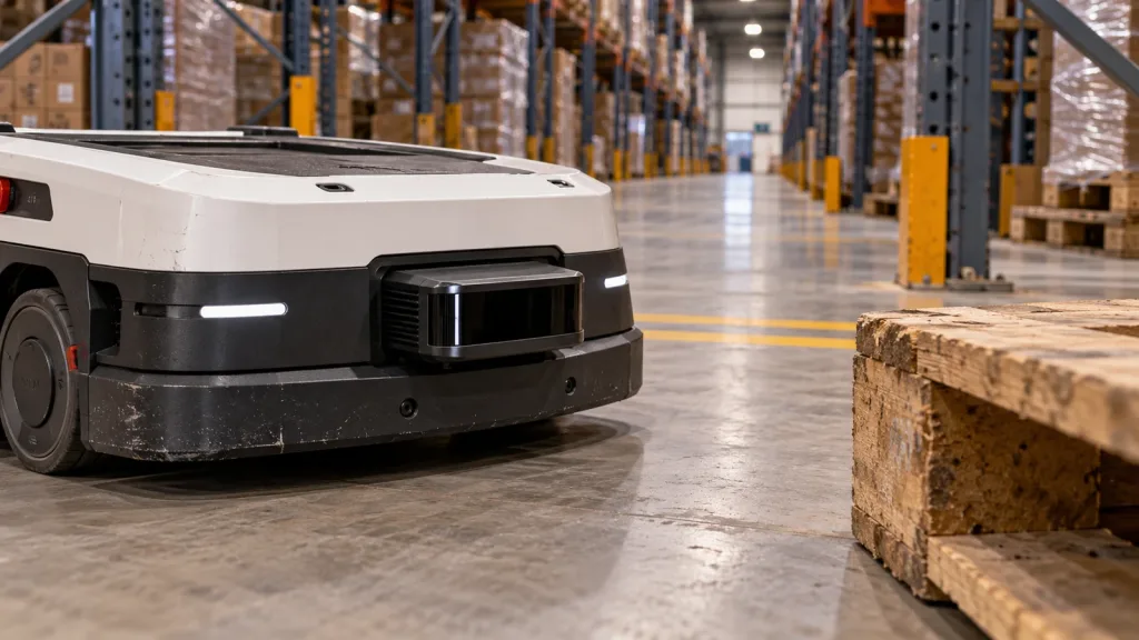 LiDAR Applications
Define the role of an AGV/AMR LiDAR module before a warehouse pilot: local observation, data handoff, mapping, or localization—and the evidence each role needs.
Continue by engineering task
Connect sensing coverage, environment and host logic to a UAV validation plan.
Open sensing guide › 02Integrate the modulePrepare the host, interface and development resources needed for evaluation.
Open documentation › 03Validate depth dataRequest point-cloud and depth data matched to the intended application scene.
Request sample data ›Drone LiDAR Quote
Share quantity, platform and integration needs. Justin Lu can follow up with quote, sample or technical support details.
Resource unlocked
Your inquiry has been submitted. You can download the requested resource now.
Download resource