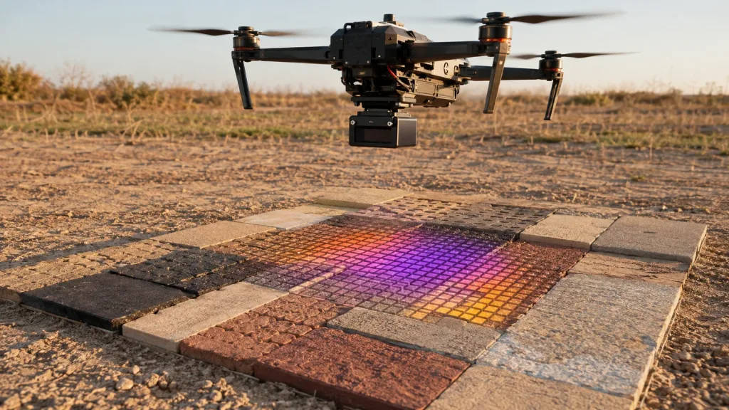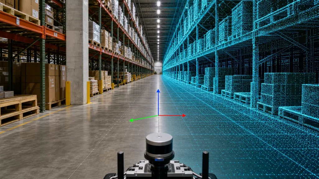
A LiDAR point cloud dataset is useful only when an evaluation team can identify what it represents, replay it in a declared frame and unit system, and reproduce the capture conditions. Before a compact depth sensor sample is passed to a host-software team, ask for a small evidence package—not merely a visually convincing point-cloud screenshot.
This guide gives robotics, UAV, and industrial-inspection evaluators a practical acceptance sequence for a LiDAR point cloud dataset. It helps separate a file-format and handoff decision from the later work of validating perception, planning, and the complete application in its actual environment.
Quick answer
Accept an evaluation dataset only after five checks pass: the capture is identified; units and coordinate frame are declared; the delivered file opens without silent scaling or coordinate surprises; the scene contains known objects that expose gaps or clipping; and another engineer can replay the same sample with the stated software and settings. A supplier file can be an excellent starting point, but it is not proof that a finished robot or drone will meet its operational requirements.
Why a LiDAR point cloud dataset needs an acceptance gate
A point cloud may look plausible while still being hard to use. A file with no stated units, no coordinate-frame note, no capture description, or no replay instructions forces the receiving team to guess. That makes it difficult to distinguish a data-translation problem from a sensor, mounting, or application problem.
Start with the delivery question: “Can our team open this data and understand its provenance without asking someone to remember hidden settings?” In LAS/LAZ workflows, for example, X, Y, and Z may be stored as scaled integers; a conversion that discards the relevant scale and offset information can change the precision available to the next step. The PDAL LAS reader documentation also shows why spatial-reference handling should be explicit instead of assumed.
For geospatial-style deliveries, quality and spatial metadata are part of the usable data story. The USGS 3D Elevation Program treats both quality levels and spatial metadata as important program concepts. Your compact embedded evaluation may not use a USGS quality level, but the discipline transfers: write down the data’s scope, collection context, and meaning before using it for a decision.
The five-check LiDAR point cloud dataset acceptance table
| Acceptance check | Ask for | Pass condition | What it prevents |
|---|---|---|---|
| Provenance | Capture date, sensor configuration identifier, scene description, and intended use | A reviewer can state what was captured and why | Testing an unknown scene as though it represents your application |
| Frame and units | Coordinate axes, origin, units, and any transform to the host frame | A known target has sensible position and size after import | Axis swaps, unit mismatch, or unexplained offsets |
| File integrity | Declared file format, point attributes, point count, checksum if available, and reader instructions | The nominated tool opens the file without discarded fields or unexplained warnings | Silent conversion or incomplete delivery |
| Scene evidence | A repeatable fixture with a near object, a farther object, edges, and low-detail surfaces | The delivered view can be compared with the capture notes | Judging data only by an attractive screenshot |
| Replayability | Software version, import settings, filters, and expected output image or statistics | A second engineer reaches the same declared baseline | One-off results that cannot be reviewed or debugged |
This is an acceptance checklist, not a universal performance specification. Set the acceptance thresholds for the target application, then record why each threshold is relevant. Do not copy a threshold from an unrelated mapping, safety, or robotics project.
A 30-minute acceptance sequence before host-side integration
1. Make the file self-identifying
Name the package with the capture identifier, then add a short readme containing file format, units, coordinate axes, timestamp basis if relevant, scene description, and the tool used for inspection. If the delivery contains derived files, identify which is raw capture, which is filtered, and which is only a visualization export.
2. Open it in the nominated workflow
Import the file using the stated software and settings. Record any warning, missing attribute, or automatic frame assumption. If the project uses LAS or LAZ, preserve source scale and offset information during a conversion unless the team has an intentional replacement policy. If a spatial reference is absent, label it absent; do not invent one to make a viewer display the cloud.
3. Inspect a known physical scene
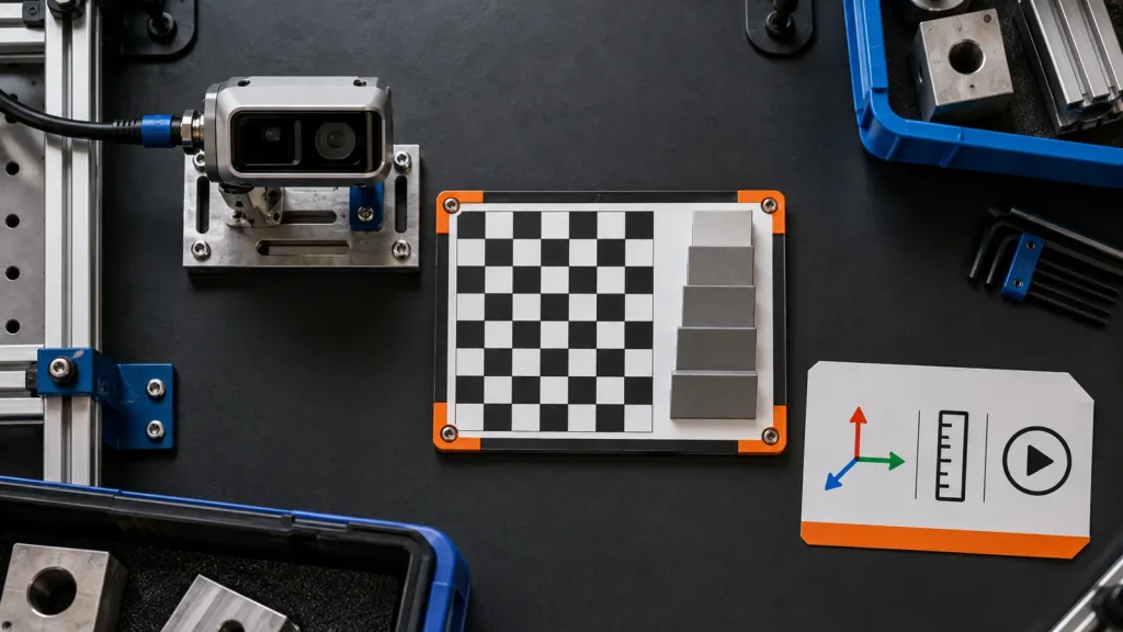
Use a modest fixture rather than a decorative demo: a flat target, a step or box edge, an oblique surface, and background space. Note mounting pose, approximate object placement, lighting condition, and whether the capture is indoors or outdoors. The purpose is to expose data interpretation questions early, not to declare a final accuracy result from a single scene.
4. Check the minimum evidence fields
Confirm the team can find the point count, dimensions or attributes, frame/unit declaration, and a before/after indication if a filter was used. Point-cloud file standards and tools can be helpful, but a format label alone does not explain what a particular embedded sensor stream means. Keep protocol documentation beside the exported sample.
5. Save a replay card
Write a one-page card with the input filename, software version, import command or UI choices, transforms, filters, and one expected view. That card is the bridge between a technical sample review and a repeatable engineering discussion. For a browser-facing review copy, the OGC 3D Tiles standard describes a hierarchical format family designed for streaming and rendering large point-cloud content; use it as a distribution option only when it fits the review need, not as a substitute for the source delivery.
Product context: MRP-LD1 facts for an evaluation request
Purpleriver’s Featured product, the MRP-LD1 Drone LiDAR Sensor, is relevant when an evaluator needs depth and point-cloud output from a compact solid-state SPAD dToF module. Treat the following as approved product information for scoping an evaluation request; they do not replace testing in your intended scene.
| Documented item | MRP-LD1 value | Evaluation implication |
|---|---|---|
| Output | Real-time depth images and 3D point-cloud data | Ask which sample output and documentation are needed for your host-side review. |
| Resolution / frame rate | 40 × 30; 10 fps | Include the intended scene motion and host consumption method in the evaluation brief. |
| Interfaces | UART, UVC, UDP | Declare the selected interface and parsing/replay path in the handoff card. |
| Field of view | 60° (H) × 45° (V) | Record mounting pose and target placement rather than inferring coverage from a screenshot. |
| Approved range baselines | 0.5–25 m indoors; 0.2–8 m outdoors | State the actual target, ambient light, angle, mounting, and motion used in your test. |
| Mass / power | 8 g; 1.2 W | Useful scoping facts for an embedded evaluation request, not a complete platform design. |
The MRP-LD1 supplies sensing data; the host processor, perception logic, planning, flight controller, and validated response remain parts of a complete application. For a broader introduction to inspecting samples, see how to evaluate a LiDAR point cloud dataset before integration.
Interface, data, and integration handoff
Assign an owner to each boundary. The sensor or supplier side owns the documented sample, interface selection, and protocol materials. The host-side evaluator owns import settings, coordinate transforms, filtering choices, and the decision record. The system team owns application-specific validation.
For MRP-LD1 evaluation, document whether the sample was obtained through UART, UVC, or UDP and preserve the associated parser assumptions. Link the dataset handoff to the relevant documentation resources and, where available, request a matching sample dataset. If the project later passes data to a flight-control or autonomy workflow, use a separate interface agreement such as this LiDAR sensor data-contract guide; do not let a point-cloud viewer export become an undocumented control input.
Example: an indoor robotic-cell evidence pack
Imagine an evaluation team mounting a compact depth sensor on a fixed fixture beside a small robotic-cell workbench. The capture scene contains a checkerboard plane, a 150 mm step block, a matte tote, and open background space. The team saves one unfiltered sample and one explicitly labeled filtered sample. Their replay card lists the physical arrangement, selected interface, units and axes used by the host viewer, the software version, and a screenshot of the expected view.
At review, the team does not claim that the fixture proves navigation or inspection performance. Instead, it asks narrower questions: Did the file arrive intact? Can another engineer reproduce the view? Are the scene and transforms understandable? Are any filter choices visible? Passing those questions creates a credible base for the next, application-specific test.
Common mistakes that make a point-cloud sample hard to use
- Sending only a screenshot. A screenshot can illustrate a scene but cannot carry file attributes, units, transforms, or replay steps.
- Calling a filtered cloud “raw.” Preserve both the original and derived file labels, plus the filter settings.
- Leaving axes implicit. A cloud can appear correct from one camera angle while being rotated or offset in the host frame.
- Equating a successful import with application validation. Import success verifies a handoff; it does not verify collision avoidance, mapping, or inspection decisions.
- Borrowing an unrelated acceptance threshold. Tie limits to your target geometry, motion, environment, and downstream decision.
- Forgetting version information. A dataset without the reader, parser, or filter version can be difficult to reproduce months later.
RFQ and evaluation checklist
Before requesting a sample or quote, send the following information so the data package can be relevant to your review:
- Target platform and application: UAV, robot, industrial cell, or another embedded system.
- Working-distance band, indoor or outdoor scene, target materials, expected motion, and mounting constraints.
- Host operating system and preferred interface: UART, UVC, or UDP.
- The desired output: depth data, point-cloud data, protocol documentation, SDK resources, or sample files.
- The acceptance evidence needed: frame/units note, capture description, replay instructions, and named reviewer tool.
- Sample quantity and project timing for the evaluation stage.
Turn a sample file into an engineering decision
Planning an embedded depth or point-cloud evaluation? Share your target platform, scene, working distance, host system, preferred interface, and the evidence you need to reproduce. Purpleriver can provide product documents, SDK resources, sample data, an evaluation sample, or a project-specific quote for the documented MRP-LD1 evaluation scope.