LiDAR Buying Guide: Compare Data Evidence Before Choosing a Compact dToF Module
A useful LiDAR buying guide does not start by ranking range, field of view, or weight in isolation. A robotics or inspection team needs to know whether the module can deliver evidence that its host software can interpret, test, and retain. Before requesting a sample, define the scene, the output you must inspect, the handoff boundary, and the acceptance record. That turns a promising datasheet into a decision that another engineer can reproduce.
Quick answer
Choose a compact LiDAR by comparing four things together: the required scene and target, the module’s published envelope, an inspectable depth/point-cloud handoff, and a test plan with pass rules. Treat a listed interface or output format as a starting point—not proof that a particular host, navigation stack, or application function is complete. Ask suppliers for the current protocol, sample data, timestamps/frame conventions, invalid-data behavior, and the conditions behind every capture you use in a comparison.
LiDAR Buying Guide: Start With Decision Evidence
Begin by writing one decision sentence: Which scene must this module describe, for which host, so that which engineering decision can be made? The sentence prevents a team from comparing an indoor range value with an outdoor target, or a depth image with a point-cloud workflow, as if they answered the same question.
| Comparison question | Evidence to request | Decision it supports |
|---|---|---|
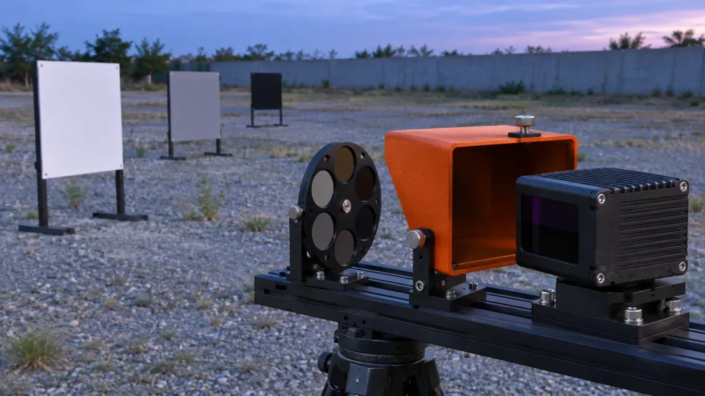
| What must be observed? | Representative target size, material, angle, distance, motion, lighting, window, and occlusion conditions. | Whether the test scene reflects the actual task rather than a convenient demo. |
| What does the module publish? | A current protocol or SDK reference plus raw sample files for the stated output mode. | Whether the host team can inspect the real data, not only an image or screenshot. |
| How is the output situated? | Timestamp semantics, coordinate frame, units, dimensions, field layout, confidence or invalid-value rules, and version information. | Whether another system can interpret the capture consistently. |
| What can the system do with it? | The host path, conversion steps, update handling, retention rules, and project-defined pass/fail result. | Whether the complete application—not just the module—meets the intended use. |
This approach is especially useful when two modules appear close on a datasheet. A module can be suitable only after the team has checked the data product, the integration boundary, and the application-specific observation. For evaluation context, see this compact dToF evaluation workflow.
Separate Published Module Facts From Project Assumptions
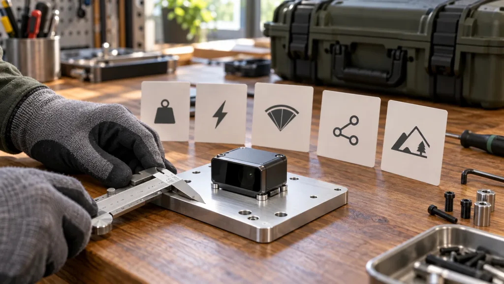
The MRP-LD1 Drone LiDAR Sensor is the Featured product used in this guide. The values below are published product facts, not application guarantees. They help scope an evaluation; they do not show that a named robot, flight controller, connector, middleware stack, or safety function has been validated.
| Published MRP-LD1 parameter | Listed value | Buyer question to keep open |
|---|---|---|
| Ranging and sensing principle | Direct time-of-flight; SPAD; 940 nm VCSEL | Which target, illumination, angle, and motion cases represent the project? |
| Listed ranging capability | Indoor: 0.5–25 m; outdoor: 0.2–8 m | What usable range and error rule should the installed application demonstrate? |
| Ambient-light resistance | 80 klux | How will the final window, target reflectivity, sun direction, and contamination be tested? |
| Field of view | 60° horizontal × 45° vertical | Where is the calibrated coverage after mounting, bracket tolerance, and self-occlusion? |
| Output | Depth images and 3D point-cloud data | Which output, units, fields, invalid values, and coordinate convention will the host consume? |
| Resolution and rate | 40 × 30; 10 fps | How many reliable observations of the real target remain at the required distance and motion? |
| Interfaces and software support | UART, UVC, UDP; Windows, ARM, Linux, Android | Which documented transport, API, operating-system version, and recovery behavior will be used? |
| Electrical and physical values | 5 V; 1.2 W; 8 g | What do the final cable, connector, enclosure, bracket, and power-quality budget add? |
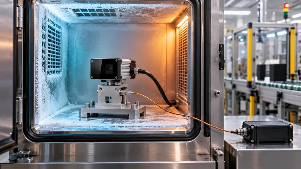
| Temperature | Operating −20°C to 60°C; storage −30°C to 70°C | What does the complete installed assembly need to prove in its own environment? |
The product listing also describes Class 1 laser safety. That laser classification does not make a completed machine or vehicle a certified safety function. Keep the product fact, the system risk process, and the application acceptance evidence in separate columns.
Ask for a Usable Data Handoff—Not Only a Demo
For teams using ROS 2, the official PointCloud2 definition illustrates why an output label is not a complete integration contract. It includes an acquisition-time and frame header, dimensions, field layout, byte layout, payload data, and an indicator for invalid points. That does not mean that every LiDAR automatically publishes native ROS messages; it is a useful checklist for the information a converter or host-side parser must make explicit.
Ask for one unfiltered sample in the intended output mode and document the following before selecting the part:
- the sensor optical frame and its measured transform to the application frame;
- whether the timestamp means acquisition, host receipt, or publication, and which clock owns it;
- depth unit, byte order, resolution, point-field types, row/column order, and confidence or invalid-value handling;
- the exact UART, UVC, or UDP message framing, loss detection, restart process, and current protocol/SDK version; and
- the host operating system, conversion step, retained raw artifact, and the project’s rule for deciding that the result is usable.
Use the site’s UART, UVC, or UDP interface guide to frame the transport choice, and the guide to visualizing dToF depth data when reviewing early output. A screen image can be helpful, but it should point to an inspectable capture rather than stand in for the capture.
The current Nav2 Obstacle Layer documentation provides another useful downstream checklist: source topic, sensor frame, expected update rate, PointCloud2 data type, height/range handling, marking, and clearing are explicit settings. The source does not describe this product or certify an application. It shows why a buyer should request the data context before assuming that a point cloud will behave correctly in a navigation or occupancy workflow.
Worked Case: Comparing Two Shortlisted Modules at an Inspection Cell
Illustrative planning case—not a Purpleriver customer result: a packaging-equipment integrator wants to observe whether a mixed-size tray has reached a small infeed position before the next machine step. The team is not yet choosing a safety function or promising a detection result. It is deciding whether a compact depth module supplies enough evidence for a prototype.
The team builds a three-scene board: an empty tray, a matte carton, and a glossy wrapped carton. It repeats each scene at the proposed working distance, at two mounting pitches, and with the cell light on and off. For every run it saves raw output, module/host versions, mounting dimensions, timestamp semantics, target condition, and the host-side rendered result. It does not tune a filter until the raw file is retained.
One candidate might show an attractive depth visualization but leave the frame and invalid values undocumented. Another might provide a sample with clear units and a reproducible parser but need a different bracket. The first is not automatically worse; it simply has an open integration gate. The buyer scores each candidate against the project’s own evidence requirements, then requests the unresolved documentation or runs the next targeted sample. This is more decision-useful than declaring a winner from a nominal range alone.
For a current technical reminder about why conditions matter, a 2025 study of SPAD-based dToF ranging analyzes how photon flux, pulse width, timing quantization, and detector dead time affect ranging precision. See Performance Bounds of Ranging Precision in SPAD-Based dToF LiDAR. Its theoretical results are not performance claims for the MRP-LD1; they support the practical discipline of labeling every comparison capture with its relevant conditions.
Common LiDAR Buying Mistakes
- Treating a listed maximum range as the project’s usable range. Use representative targets, angles, lighting, motion, and mounting before setting an acceptance rule.
- Equating a point-cloud label with a complete host integration. Confirm the real data layout, frame, timing, parser, failure behavior, and current documentation.
- Comparing visualizations instead of data artifacts. Retain raw files and versioned parsing steps so another engineer can examine the same evidence.
- Filling documentation gaps with assumptions. An interface name does not establish connector details, a native driver, a particular API, or a recovery sequence.
- Testing only one easy target. Include project-representative materials, sizes, distance, angle, scene light, and installed geometry.
- Calling a perception result a safety result. Keep module performance, software behavior, system risk controls, and compliance evidence distinct.
- Forgetting change traceability. Record module, firmware, SDK, host, calibration, bracket, and parameter versions with each retained capture.
RFQ and Evaluation Checklist
Send a supplier the application envelope and the proof you need. A focused request shortens the comparison cycle and makes a useful response easier to recognize.
- Describe the target, minimum relevant feature, working-distance band, materials, orientations, movement, light, contamination, and environment.
- State the proposed mounting position, optical-frame convention, bracket tolerance, window, cable routing, host platform, and available power.
- Request the exact output mode, sample files, protocol/SDK revision, units, frame, timestamps, field definitions, confidence/invalid rules, and parser example if available.
- Declare the chosen interface, bandwidth/recording approach, loss/restart question, and host-side output that must be produced.
- Ask what published facts apply to the requested scene, and keep undocumented connector, ingress, vibration, integration, and delivery questions open rather than assumed.
- Provide a small acceptance matrix: scene, output artifact, reviewer, measurable project-defined rule, exception record, and rerun condition after a change.
- Request the current documentation resources, sample-data options, and an evaluation or quote discussion appropriate to the project.
Before converting any sample result into a purchase decision, review a retained dataset with the site’s point-cloud dataset evaluation guide. The goal is not to produce the largest spreadsheet; it is to make the next engineering decision testable.
Turn Your Shortlist Into an Evaluation Request
Share the target scene, working-distance band, mount concept, host platform, preferred interface, output artifact, and the decision you need to make. Purpleriver can help you compare those stated needs with the MRP-LD1’s published parameters and identify questions for an evaluation sample.