UAV component sourcing
Drone LiDAR Quote: A Requirements Brief for Onboard Sensing
A drone LiDAR quote is useful only when it describes the job the sensor must support. A request that says only ‘LiDAR for a drone’ can mix up an onboard depth sensor with a georeferenced mapping payload, leave the host-data path undefined, and make two supplier responses impossible to compare.
This brief gives UAV engineers and technical buyers a practical way to ask for a compact onboard-sensing evaluation without turning product specifications into promises about the aircraft, flight controller, survey deliverable, or regulatory approval.
Quick answer
Lead with the sensing job, aircraft context, working-distance envelope, target conditions, host interface, required data, and acceptance evidence. Then separate what must be confirmed during evaluation from what the product listing actually states. For a mapping payload, add georeferencing, calibration, processing, and deliverable requirements; for onboard sensing, add the perception-to-flight-controller handoff and a test plan.
1. Define the job before asking for a drone LiDAR quote
Start with the decision the incoming data must support. An onboard module can supply depth images or point-cloud data to a host. It does not, by itself, establish the aircraft’s perception logic, obstacle response, flight safety, or mission authorization. A mapping payload is a different scope: the buyer may need a georeferenced point-cloud deliverable, a positioning stack, calibration evidence, processing rules, and accuracy validation.
| If your primary need is… | Put this in the request | Do not assume from a sensor specification |
|---|---|---|
| Onboard clearance, altitude, or scene sensing | Platform, mounting zone, target distances and shapes, lighting, speed envelope, data consumer, interface, latency question, and test cases | A complete obstacle-avoidance function, controller integration, stopping behavior, or aircraft approval |
| Georeferenced mapping or survey deliverables | Required deliverable, coordinate reference system, GNSS/IMU scope, calibration, flight plan, processing path, control/check points, and accuracy-validation method | That a compact depth module alone produces a survey-grade deliverable |
| Inspection evidence | Asset type, standoff band, viewpoint, target material, illumination, data to retain, operator workflow, and acceptance examples | That one range number proves visibility on every surface and angle |
For mapping work, the current USGS lidar data-processing specification is a helpful public example of why a project must name validation, metadata, and deliverables rather than buy on a headline sensor value alone. A peer-reviewed UAV LiDAR calibration study likewise treats sensor/positioning alignment as part of point-cloud quality. Those sources frame questions for a mapping-payload supplier; they do not set performance claims for the MRP-LD1 or any other compact onboard module.
If the mission is onboard perception, use the UAV navigation and obstacle-avoidance solution page to align the request with a system workflow, then make the system owner responsible for the final sensing-to-response validation.
2. Build a requirements brief suppliers can answer
A good request has two layers. The first layer is the immutable application envelope: what aircraft, where the module can be mounted, what it must observe, and what data consumer needs the result. The second is the evaluation evidence: what the supplier should document and what your team will test on the final aircraft.
| Brief field | What to state | Why it makes the response comparable |
|---|---|---|
| Mission and decision | Describe the sensing decision, such as altitude reference, forward clearance awareness, or inspection standoff—not simply ‘drone LiDAR’. | Prevents a mapping payload and an onboard depth sensor from being quoted as substitutes. |
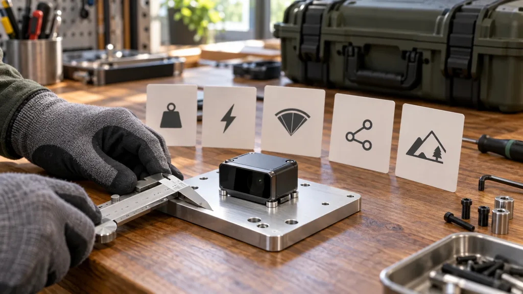
| Physical envelope | Airframe type, available volume, module mass budget, proposed mounting direction, protective-window concept, cable route, and power architecture. | Surfaces constraints early without assuming an unlisted connector or mounting method. |
| Scene envelope | Near/far working distances, target sizes, materials, angles, flight speed, vibration, indoor/outdoor use, illumination transitions, dust, rain, or other conditions that matter. | Turns a maximum-range discussion into testable scene conditions. |
| Data handoff | Host processor and OS, preferred UART/UVC/UDP path, expected depth or point-cloud use, timing question, logging need, and restart behavior to evaluate. | Lets hardware and software owners review the same integration boundary. |
| Evidence request | Current product documentation, protocol/SDK material, sample data if available, firmware/version questions, an evaluation sample path, and the acceptance matrix. | Defines what the team needs to assess fit without converting unknowns into requirements the product is presumed to meet. |
Price still matters, but it is one column in the decision. The UAV LiDAR price guide explains why scope affects cost conversations. Pair it with this brief so a quote can be read against the required evidence instead of against an isolated number.
3. Use published MRP-LD1 facts as inputs, not conclusions
The Featured MRP-LD1 Drone LiDAR Sensor is an option to evaluate for compact UAV, robotics, and embedded depth-perception work. The table below copies its published parameters into a quote brief. Installed behavior still needs application-specific evaluation.
| Published product item | MRP-LD1 value | Quote-brief use |
|---|---|---|
| Ranging and scanning principle | Direct time-of-flight (dToF); SPAD | Identify it as a compact depth-sensing component, then state the host-side decision it must feed. |
| Emitter | 940 nm VCSEL | Keep the published wording in the component record; ask any system-level optical question separately. |
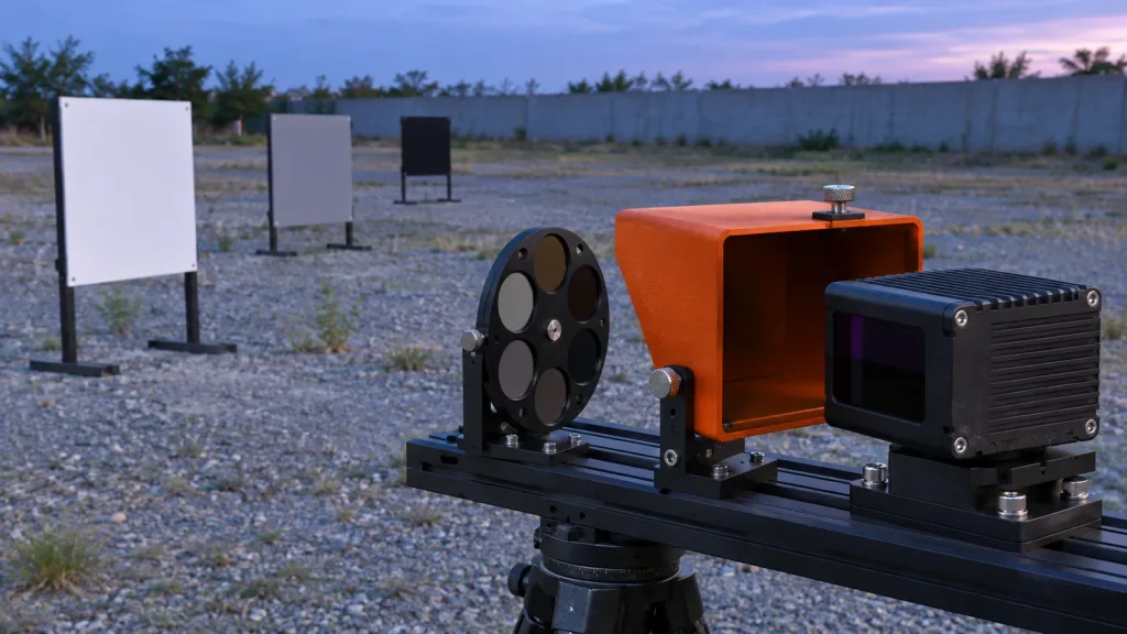
| Published range | 0.5–25 m indoors; 0.2–8 m outdoors | Compare it with the real working-distance band, target conditions, and mounting geometry rather than treating it as universal usable coverage. |
| Field of view | 60° horizontal × 45° vertical | Sketch the proposed orientation and test coverage with the final mount and airframe. |
| Output and rate | Depth images and 3D point-cloud data; 40 × 30 resolution; 10 fps | Define the required data form, the host consumer, and the evidence needed for target persistence. |
| Interfaces and software support | UART, UVC, UDP; Windows, ARM, Linux, Android | Name the intended path, host, protocol/SDK question, and recovery behavior to evaluate. |
| Electrical and mass | 5 V; 1.2 W; 8 g | Use as component-level budget inputs; include cable, bracket, protection, and power-quality questions in the aircraft review. |
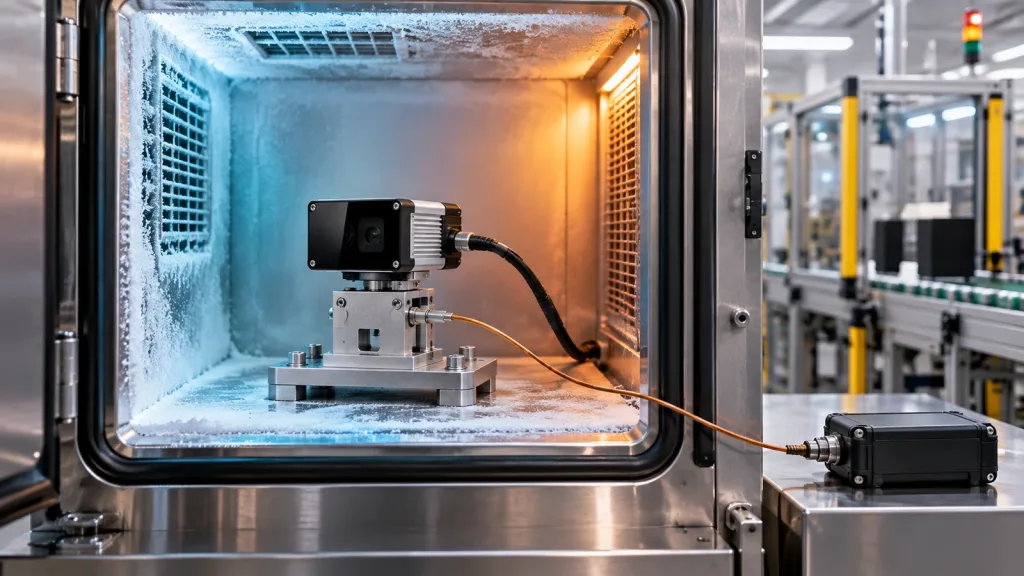
| Ambient-light and temperature listings | 80 Klux; operating −20°C to 60°C | Use as evaluation inputs, then test the final window, lighting direction, target properties, thermal layout, and mission conditions. |
| Published safety listing | Class 1 (FDA Recognized Eye-Safe) | Retain the component statement accurately; do not use it as a claim about the completed aircraft or operation. |
Before sending the request, compare it with the LiDAR evaluation-sample checklist. If a required capability is not documented in the product listing—such as connector details, native ROS support, end-to-end latency, ingress protection, or a complete avoidance function—keep it as a question or an acceptance gate.
4. Illustrative case: a façade-inspection UAV needs a scoping call, not a performance promise
Illustrative engineering scenario, not a customer result: a technical buyer is preparing a small multirotor for close-range façade inspection. The team is exploring a compact forward-facing depth sensor to help its own flight-test workflow maintain a defined inspection standoff. The request names the intended mounting zone, the expected standoff band, painted and glazed target surfaces, sun/shade transitions, the host processor, and the route from sensor data to its in-house logging and perception software.
The team does not ask a supplier to certify the aircraft’s clearance behavior. Instead, it asks for the current product documentation, interface material, depth/point-cloud sample information if available, and a route to an evaluation sample. Its acceptance matrix calls for representative captures at the planned angles and lighting changes, timestamps at the host boundary, a documented stream-interruption check, and a review of any filtering before the team makes flight-control decisions.
That distinction keeps the quote useful. The supplier can respond to documented component scope; the aircraft team keeps ownership of mounting, perception, control, and operating risk.
5. State the interface and data handoff before the quote arrives
‘Supports UART/UVC/UDP’ is a starting point, not an integration plan. State which path your team prefers and ask for the current protocol, SDK, sample-data, version, and recovery details needed to assess it. The UART, UVC, or UDP interface guide can help structure that choice; use the documentation resources when assembling the exact questions.
- Which host will receive the data, and which operating system, power arrangement, and physical connection are planned?
- Does the host need a depth image, a point cloud, or both? Define units, coordinate convention, invalid-data handling, and the data log to retain.
- What event should be timestamped for evaluation: acquisition, receipt, or host publication? Do not silently interchange them.
- How will the system detect a lost, stale, malformed, or restarted stream, and what will the aircraft team do while the data is unavailable?
- Which firmware, host software, protocol, and configuration versions will be recorded with the test result?
For U.S. planning, the FAA’s current getting-started guidance distinguishes operational contexts and points pilots to the applicable rules and airspace resources. That is why a quote brief should state the intended operating context but should never present a LiDAR component as an authorization to fly.
6. Common drone LiDAR quote mistakes
- Asking for ‘the best range’ without a scene. Give a working-distance envelope, target type, angle, lighting, and mount orientation.
- Comparing a mapping payload with an onboard depth sensor as if they deliver the same result. Decide whether the buyer needs a host-side perception input or a georeferenced mapping deliverable.
- Using a published maximum as a system guarantee. Retain the published value, then define the installed test that matters to the mission.
- Leaving the data consumer unnamed. The quote may be technically sound but still unusable if the host, interface, format, or recovery path is unknown.
- Assuming undocumented details. Put unlisted connector, driver, latency, protection, integration, and compliance needs into the question list.
- Requesting a sample with no acceptance plan. Define representative targets, operating conditions, raw-data retention, and who signs off before hardware arrives.
- Turning a component listing into an aircraft claim. Keep sensor facts, software behavior, flight-control logic, and operational responsibility separate.
7. Copy this RFQ and evaluation checklist
Use the following list in the body of a request. Leaving an item unknown is acceptable; label it as an evaluation question rather than guessing.
- Application, aircraft type, proposed mounting direction, available envelope, and component mass/power budget.
- Whether the need is onboard sensing, mapping deliverables, or inspection evidence—and the single decision the data must support.
- Working-distance band; target size, material, angle, and movement; indoor/outdoor and illumination conditions; vibration and environmental questions.
- Required coverage sketch, any self-occlusion concerns, and the physical features of the final window, bracket, and cable route that need evaluation.
- Host hardware and OS; preferred UART/UVC/UDP path; required depth/point-cloud form; timing, logging, restart, and invalid-data questions.
- Current documentation, protocol/SDK material, firmware/version information, and available sample-data or evaluation-sample process.
- Evaluation matrix with representative targets and conditions, evidence to record, change-control expectations, and the internal owner for acceptance.
- For mapping scope only: deliverable, coordinate reference system, positioning/calibration approach, processing responsibilities, check points, and validation method.
- For U.S. operations, the planned operational context and any aircraft-level questions that must be handled separately; see the FAA’s Remote ID guidance for why that scope belongs with the registered aircraft/operation rather than an assumed LiDAR-module feature.
Turn your sensor inquiry into an evaluation-ready brief
Share the airframe, sensing job, working-distance band, target conditions, proposed mount, host platform, preferred interface, and the evidence your team needs. Purpleriver can help you compare those requirements with the MRP-LD1’s published parameters and identify the questions to resolve during an evaluation.