
UAV obstacle evaluation
Review near-field coverage, obstacle shape and depth continuity for a representative flight or bench scene.
Share sensing direction, target distance, expected object size and outdoor or indoor light conditions.MRP-LD1 depth and point-cloud sample requests for application evaluation.
Explore the moduleDepth and Point Cloud Data
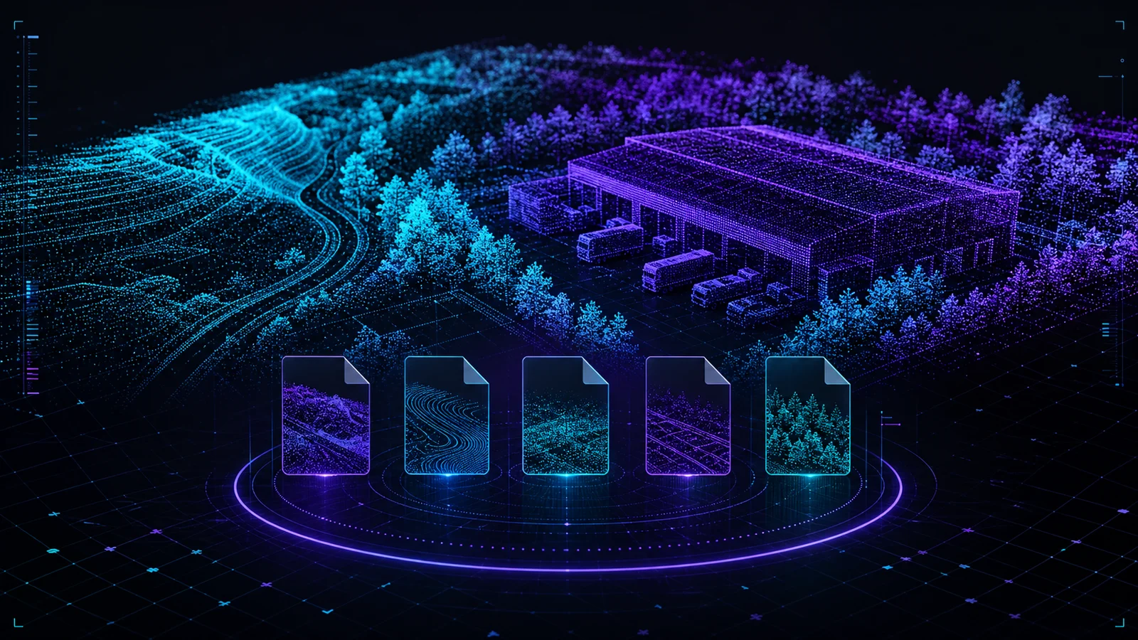
Request MRP-LD1 LiDAR point cloud and depth sample data matched to drone obstacle avoidance, robotics or inspection evaluation needs.
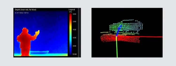
Depth and point-cloud output
The MRP-LD1 produces 40 × 30 depth output at 10 fps for depth-image and 3D point-cloud workflows. A useful sample request should identify the scene, target distance, host, interface and engineering decision—not only the preferred file extension.
Request by scene
A matched request is more useful than a generic file. Select the closest application context, then add the environmental and host details in the form.
Review near-field coverage, obstacle shape and depth continuity for a representative flight or bench scene.
Share sensing direction, target distance, expected object size and outdoor or indoor light conditions.Evaluate depth handoff and point-cloud behavior for compact AMR, service robot or embedded mapping workflows.
Share platform speed, host computer, navigation task and the data path your software expects.Compare target coverage, invalid points and repeatability for machinery, infrastructure or restricted-space sensing.
Share target material, working distance, required repeatability and visualization or measurement workflow.Dataset request
Purpleriver reviews the application before sharing sample material so the data context is relevant to the platform and evaluation task. Availability and format are confirmed after the request, and only verified sample material is shared for engineering review.
Use “Your Requirements” to include the scene, target distance, host, interface, preferred format and the decision your team needs to make.
Your request has been recorded. The product team will review the application, platform, target scene and preferred format, then reply with the most relevant available sample material or the additional capture details required.
Evaluation checklist
Use the same checklist across candidate files so each sample contributes to a repeatable integration decision.
Record target material, orientation, distance, lighting and sensor mounting instead of judging an isolated screenshot.
Confirm units, axes, scaling, invalid values and any conversion applied before visualization.
Review 10 fps timing, timestamps, dropped frames and replay behavior on the selected host.
Define whether the data is being evaluated for obstacle input, mapping, inspection or another host-side perception task.
Related resources
Sample data FAQ
Confirm scene relevance and data context before using a sample for an engineering decision.
Discuss a sample requestNot currently. Submit the intended scene and format so the team can confirm whether an appropriate verified sample package is available for that evaluation.
Include the application, target scene, distance, lighting, sensor direction, host platform, interface, preferred format and the engineering decision the sample must support.
The verified product information lists 40 × 30 depth output at 10 fps and supports depth-image and 3D point-cloud processing workflows on the host.
No. Sample data supports early evaluation. Final performance depends on mounting, targets, environment, host processing, perception algorithms, control logic and system-level validation.
Drone LiDAR Quote
Share quantity, platform and integration needs. Justin Lu can follow up with quote, sample or technical support details.
Resource unlocked
Your inquiry has been submitted. You can download the requested resource now.
Download resource