
Define the sensing task
Record the platform, target, working distance, light level, mounting direction and acceptance criteria.
Drone LiDAR sitemap pages are being expanded with product-led technical content.
Explore the moduleProduct Center
Use this center to evaluate Drone LiDAR Sensors through verified specifications, integration paths and technical resources. Purpleriver currently centers this product line on MRP-LD1, an 8 g solid-state SPAD dToF module for UAV, robotics and embedded depth-perception projects.
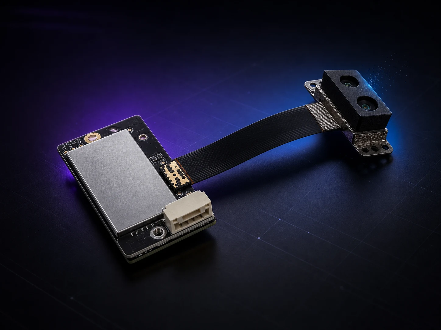
Featured platform · MRP-LD1
MRP-LD1 combines SPAD direct Time-of-Flight sensing, a 940 nm VCSEL source, depth images and 3D point-cloud output in a compact module. For buyers comparing UAV LiDAR hardware and LiDAR modules for drones, robotics perception hardware and embedded sensors, it provides one documented platform to qualify—not a complete navigation or avoidance system.
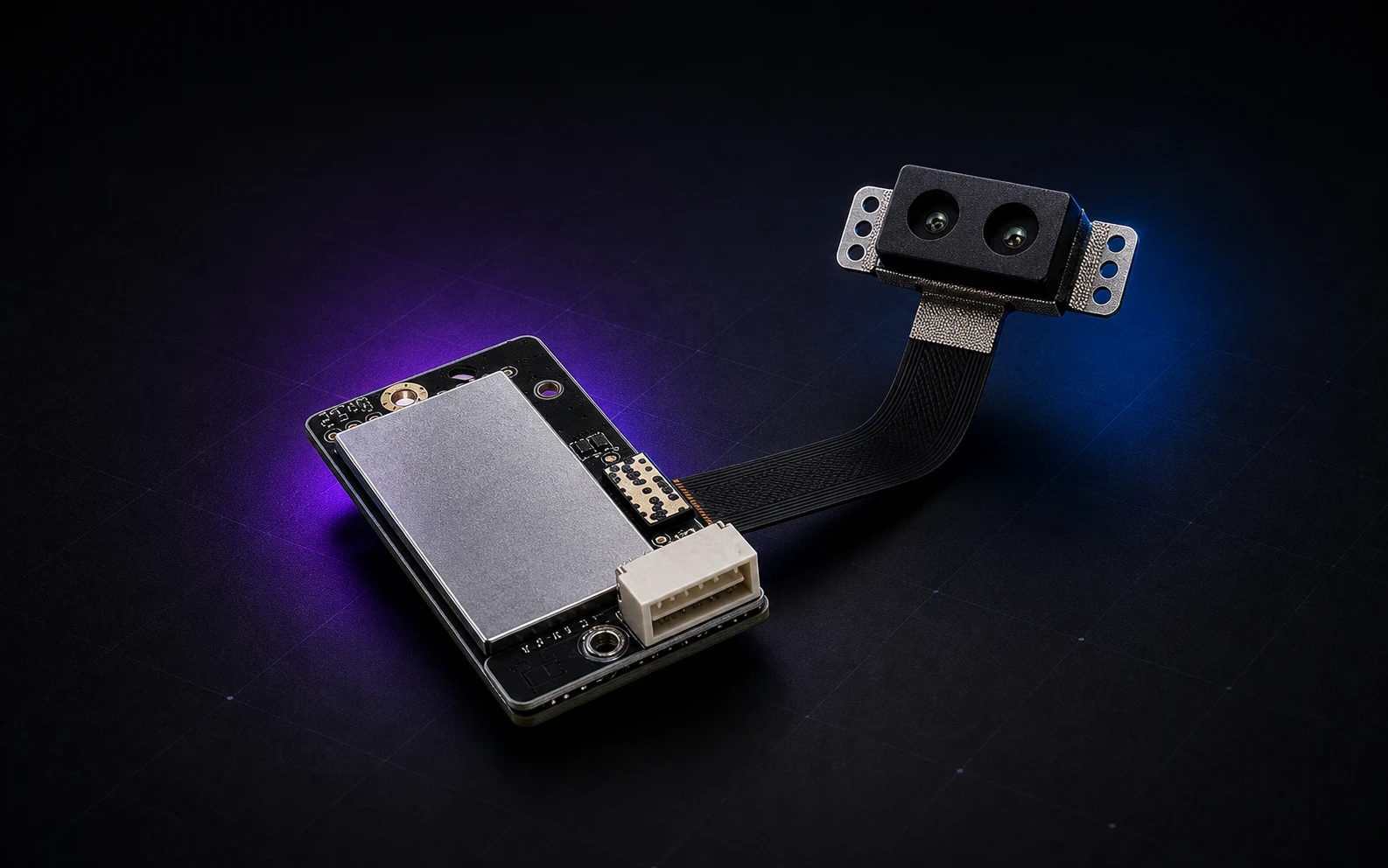
MRP-LD1 overview
This summary supports first-pass comparison. Use the product detail page and approved documentation for the complete specification table and final engineering review.
Application paths
The same dToF hardware requires different mounting, targets, timing and host logic in each application. Use these paths to continue with the most relevant technical context.
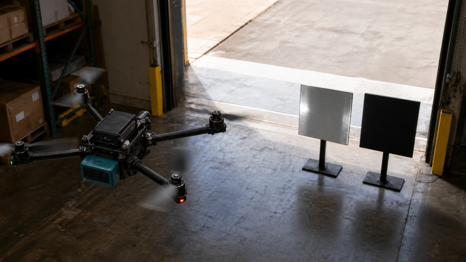
Use compact depth data as an input for forward obstacle awareness, altitude-hold and terrain-following evaluation on aerial platforms.
Explore UAV solution ›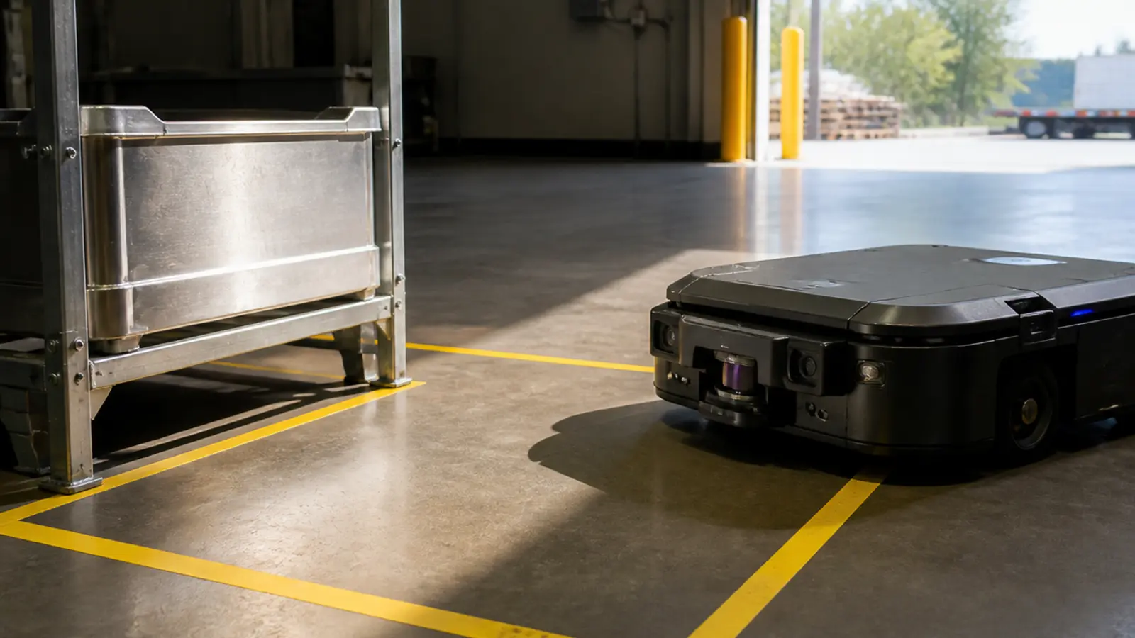
Support AMR, service robot and industrial robot evaluation workflows with point cloud output, depth images and embedded interface options.
Explore robotics solution ›
Evaluate solid-state LiDAR modules for inspection, security, smart equipment and compact perception systems before hardware customization.
Discuss integration ›B2B evaluation path
Connect the sample request to a measurable scene, host system and acceptance plan. This gives engineering and purchasing teams a clearer basis for the next decision.
Record the platform, target, working distance, light level, mounting direction and acceptance criteria.
Compare field of view, module weight, power, interface and software environment with the intended system.
Use the product specifications, manual, SDK path and representative depth or point-cloud data before integration.
Test the installed module, share findings and align customization, quantity and delivery requirements.
Engineering resources
Move from product comparison to engineering validation through the detailed product page, documentation request and application-specific sample dataset workflow.
Product support
Use these answers to qualify the module, integration path and B2B evaluation workflow.
Send product requirementsThe current product center focuses on MRP-LD1, a compact solid-state dToF LiDAR module for UAV, robotics and embedded 3D perception projects.
Purpleriver currently presents one documented MRP-LD1 platform instead of creating artificial product categories. The product center can expand when additional verified models are released.
MRP-LD1 supports UART, UVC and UDP interfaces, with SDK support for Windows, ARM, Linux and Android environments.
No. MRP-LD1 supplies depth images and 3D point-cloud data. Detection logic, planning, control and system-level validation remain responsibilities of the host platform.
Yes. Engineering teams can review documentation, request sample datasets and contact Purpleriver with platform, interface, environment and quantity requirements.
Drone LiDAR Quote
Share quantity, platform and integration needs. Justin Lu can follow up with quote, sample or technical support details.
Resource unlocked
Your inquiry has been submitted. You can download the requested resource now.
Download resource